Using Maps
With the V360 user interface, Accela Silverlight GIS provides a geographic view of all land-use, zoning, and infrastructure information associated with agency records, including parcels, permits, inspections, plans, assets, work orders, and service requests.
You can access GIS directly from the V360 toolbar, and visually review, research, and manage agency records.
To use GIS
Log in to Civic Platform.
Civic Platform displays your personalized Home page.
Click the Maps button.
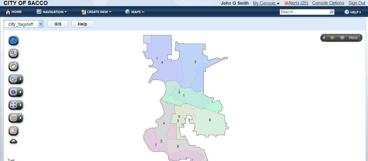
Accela Silverlight GIS displays the map viewer.
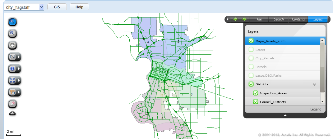
Use the map viewer table of contents to configure the map service and map layers that display.
Accela Silverlight GIS displays the selected map service and map layers.
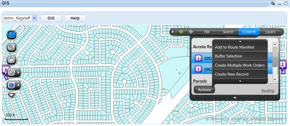
Access the Context and Actions menu to complete tasks. The Context menu is accessible from map tips. The Actions menu is accessible from the menu bar.
Accela Silverlight GIS displays the corresponding map commands.